How to Evaluate a Lot for a Custom Home in Charlotte
Learn how to evaluate a lot for a custom home in Charlotte using jurisdiction, zoning, boundary, drainage, tree, utility, condition, and design-fit checks.
To evaluate a lot for a custom home in Charlotte, begin by building a property-specific record: jurisdiction, zoning and applicable lot standards, reliable boundary and easement information, drainage and flood context, trees, access, utilities, existing conditions, topography, and fit with the proposed home. Public maps and agency pages can help identify questions. They do not prove that a parcel is buildable or replace a current survey, title review, engineering, environmental work, utility confirmation, or written agency determination when those are needed.
Confirm the parcel and governing jurisdiction
Start with the exact parcel rather than the marketing description. Confirm the address or parcel identifier, municipal jurisdiction, current owner information available to you, and the agencies that govern zoning, land development, building review, utilities, and other relevant matters. Mecklenburg County's GIS services provide POLARIS and GeoPortal for property and mapping research, including multiple overlays. Treat that material as an orientation layer. Parcel lines, ownership displays, and mapped features can be incomplete or unsuitable for design decisions, so record the source and date of every finding.
Read zoning and lot standards as a design boundary
Identify the current zoning district and the standards that may affect the proposed residence. In Charlotte, the Unified Development Ordinance is the current framework, and the City's Individual Residential Lot review identifies permitted use, setbacks, lot standards, and lot coverage among typical zoning-review subjects. Overlay districts, recorded conditions, prior approvals, or a property outside Charlotte can change the path. Use the official Charlotte UDO resources and request project-specific interpretation from the responsible authority or qualified professional when the answer affects a purchase or design commitment.
Permitted residential use and the correct zoning district
Front, side, and rear setback conditions applicable to the parcel
Lot coverage, height, frontage, access, and other dimensional standards
Overlay, historic, watershed, floodplain, or other mapped context that may require follow-up
Recorded private restrictions or easements that government zoning maps may not resolve
Use current boundary and title information
A concept plan needs dependable information about the property it occupies. Existing surveys can be useful background, but confirm whether they are current and adequate for the decision at hand. Boundaries, easements, rights-of-way, encroachments, access rights, and recorded restrictions can affect the buildable area or construction logistics. Title and survey questions belong with the appropriate legal and surveying professionals. This article cannot determine ownership rights or give a legal conclusion about a particular parcel.
Lot evaluation is useful when it informs the fit between a particular property and a proposed home.
Trace drainage, flood, and water movement questions
Observe how water appears to enter, cross, collect on, and leave the property, while recognizing that a visit in dry weather reveals only part of the picture. Note visible swales, inlets, pipes, ditches, low areas, retaining structures, and adjacent grades. The City says its Individual Residential Lot review can include Stormwater review of drainage infrastructure, existing drainage features, flood-related conditions, public storm easements, driveway conflicts, and nearby property effects. Which items apply depends on the proposed work, property location, and existing conditions.
A mapped floodplain, drainage overlay, or absence of a mapped feature is not a complete engineering conclusion. If water, grade, foundations, retaining, or off-site effects could materially influence the project, identify the civil, structural, geotechnical, survey, or other professional work required before relying on a concept or price. Record the question and responsible discipline rather than replacing investigation with a broad contingency.
Identify tree and landscape constraints early
Map major existing trees, visible root zones, street trees, and the areas needed for construction access and staging. Charlotte's residential-lot guidance says Urban Forestry review may address existing right-of-way trees, new street trees, tree-save areas, and heritage-tree protection or mitigation depending on the project. The applicable tier and requirements are property-specific. Early tree information can help the design team test placement and access before the house footprint, driveway, utilities, and grading compete for the same space.
Confirm access and utility facts
A parcel needs a workable relationship to the street and to the utilities required by the project. Document existing curb cuts or driveway conditions, street grade, visibility, overhead or underground lines, utility structures, and any obvious access constraint. Then verify service availability, connection location, capacity, easements, fees, and provider requirements directly with the appropriate utility or professional. A nearby line does not by itself prove that a specific service, connection, or route is available to the lot.
Access, utilities, trees, drainage, and the building footprint must be considered together rather than as isolated checklist items.
Study existing conditions, topography, and soils
Photograph and document existing structures, walls, paving, vegetation, visible utilities, neighboring grade relationships, and potential staging limitations with permission. A topographic survey or other field information may be needed to understand slope and elevation. Soil and subsurface conditions are not reliably determined from appearance alone. If the proposed home or site work depends on bearing, groundwater, fill, rock, retaining, or unusual foundation conditions, the appropriate professional investigation should inform the design and scope.
Test the home against the lot before fixing the plan
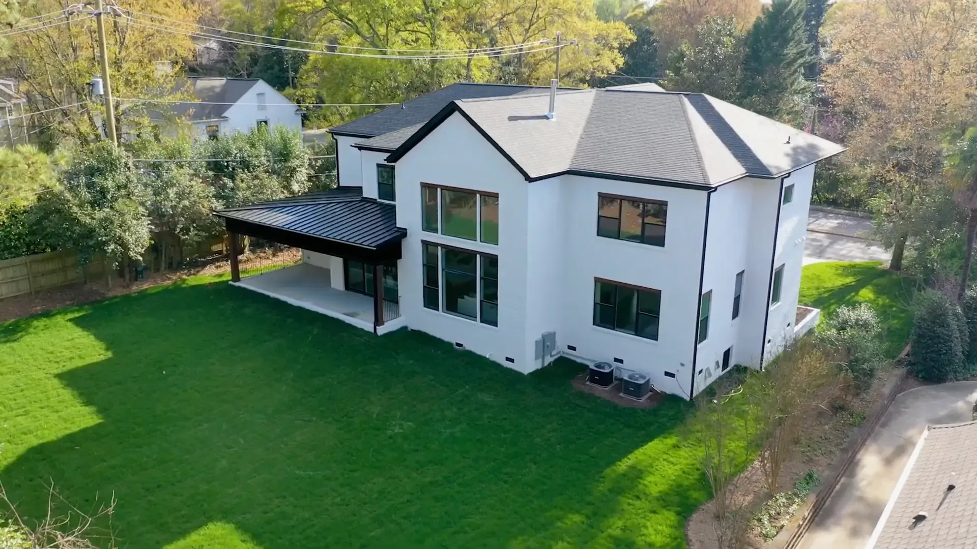
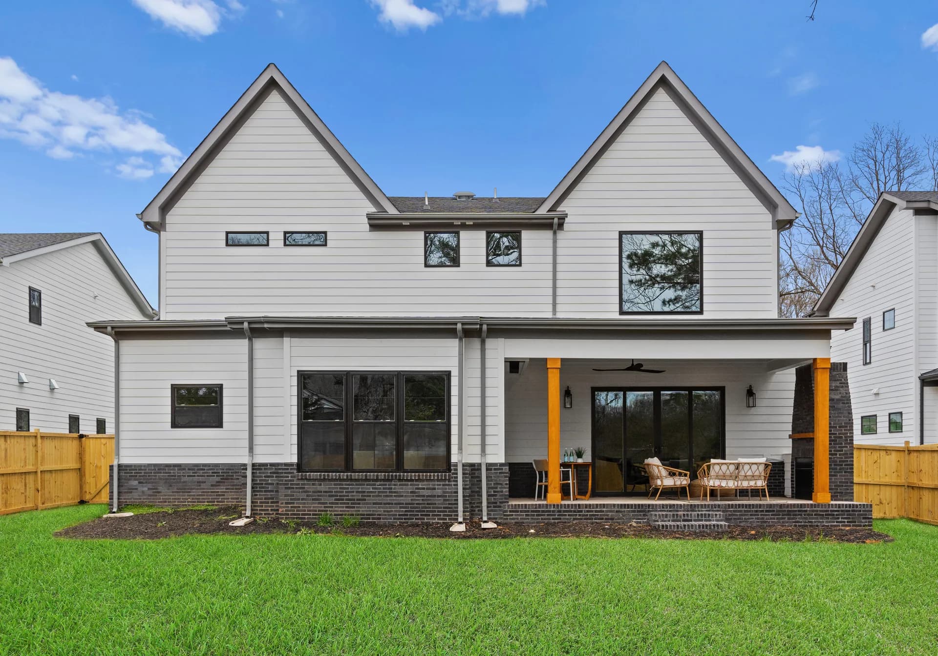
Place the desired program into the site's actual constraints. Test the likely buildable area, orientation, daylight, privacy, outdoor space, driveway and garage approach, entry sequence, service areas, grading, trees, utilities, and construction access. A plan that works on a wide level parcel may not transfer cleanly to a narrow, sloped, wooded, or highly constrained lot. This is where a custom brief earns its value: the property can shape the home instead of becoming a late correction to a predetermined image.
Keep the commercial and informational questions separate. DELLA's custom-homes page remains the service overview for an individual project. The Locations collection describes published neighborhood context. This guide is limited to the research and decision record a serious buyer can organize before a property-specific professional review; it does not certify feasibility or describe a proprietary DELLA checklist.
Map the City and County review tracks
For applicable Charlotte residential projects, the City says the LDIRL permit is required in addition to the Mecklenburg County building permit and lists project types subject to concurrent review on its zoning permitting page. Mecklenburg County's Residential Plan Review covers new one- and two-family residences and provides the current electronic submission path. Jurisdiction, scope, and agency rules can change, so verify the requirements for the actual address and current proposal. DELLA's permitting guide explains these tracks in more detail without promising an approval outcome or duration.
Create a decision-ready feasibility record
Record the parcel identifier, jurisdiction, source links, and research date.
List confirmed zoning information and every standard needing project-specific interpretation.
Identify survey, title, easement, or access questions for the responsible professional.
Map drainage, flood, tree, utility, grade, and existing-condition questions.
Sketch how the desired program, outdoor space, access, and service areas might fit.
Identify the City, County, utility, and other review paths that may apply.
Assign each unresolved issue an owner, evidence source, and decision deadline.
Update assumptions after professional findings instead of preserving an obsolete concept.
Use the framework before a major commitment
The best early outcome is not a quick yes or no. It is a clear record of what is known, what remains uncertain, which conditions could reshape the design or scope, and what professional work is required before a purchase or construction commitment. If the property and project appear aligned, bring that record, the available survey and documents, and your design brief to the next conversation. Review relevant DELLA projects and contact DELLA when you are ready to discuss fit for a specific Charlotte home.